
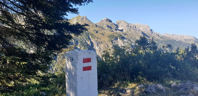
Schrofenpass (2.533 m)
The tour starts in the idyllic village Lechleiten. Under the Holzgauer house you will first find a wide hiking trail towards the forest. After the first bend, a narrow path turns right. Now follow the hiking trail through the forest upwards. Keep right at the next fork and follow the path to the Schrofenpass. Register you in the passport book at the Schrofenpass, as people have done long before our time. After a break, the same path goes back again.
Show more
Details.
directions_run Typ:Hiking trail
Level:Medium
arrow_right_alt Distance:3,4 km
access_time Duration:75 min
trending_up Elevation gain:204 hm
trending_down Elevation decrease:202 hm
GPX DownloadSchrofenpass (2.533 m)
GPS 47.27420000 / 10.20252800
Profile.
Recommended equipment.
This should never be missing on the mountain.
Backpack, First-Aid Set incl. Bladder plaster, telephone with emergency number, cash, drinking bottle, pocket knife, provisions, sun protection in good weather.
Show more
Directions.
Touring.
Lechleiten - Schrofenpass - Lechleiten
Show more
Parking.
All information about parking spaces can be found here.
Show more
Public transport.
All information about the buses can be found here.
Show more
Safety.
Emergency numbers.
140 - Alpine emergencies throughout Austria
144 - Alpine emergencies in Vorarlberg
112 - Euro emergency call
Show more