
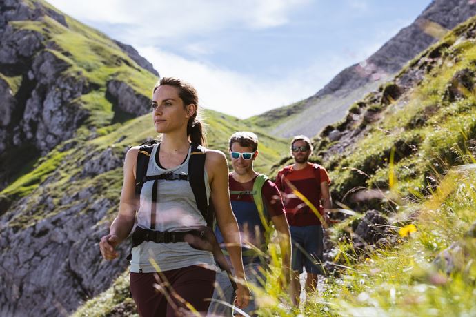
From Schröcken to the Göppinger Hütte
The path starts right from the Hotel Mohnenfluh and takes you along the road through the gorge of the Bregenzerache to the Alpe Felle. After 300 m the narrow path on the right side climb the serpentines. Continue to the rear Fellealpe and to the right climb steeper and steeper to the waterfalls. Now, to the left below the high glacier, follow the serpentines to the entrance of the Jägersteig. With the help of the safety rope you cross the Jägersteig through the first gorge and then through the partly wet-slippery gutter. They run between the cushioned plants covered rocks in increasingly scarce landscape. Along the trail you reach the picturesque Butzensee, which you pass on the right and walk past the Braunarlspitze to the Göppinger Hütte.
Show more
Details.
directions_run Typ:Hiking trail
Level:Hard
arrow_right_alt Distance:10,6 km
access_time Duration:279 min
trending_up Elevation gain:1332 hm
trending_down Elevation decrease:354 hm
GPX DownloadFrom Schröcken to the Göppinger Hütte
GPS 47.23320000 / 10.08633500
Profile.
Recommended equipment.
This should never be missing on the mountain.
Backpack, First-Aid Set incl. Bladder plaster, telephone with emergency number, cash, drinking bottle, pocket knife, provisions, sun protection in good weather.
Show more
Directions.
Touring.
Schröcken village square - Hotel Mohnenfluh - Alpe Felle - Hochgletscher - Jägersteigs - Butzensee - Göppinger Hütte
Show more
Parking.
All information about parking spaces can be found here.
Show more
Public transport.
All information about the buses can be found here.
Show more
Safety.
Emergency numbers.
140 - Alpine emergencies throughout Austria
144 - Alpine emergencies in Vorarlberg
112 - Euro emergency call
Show more