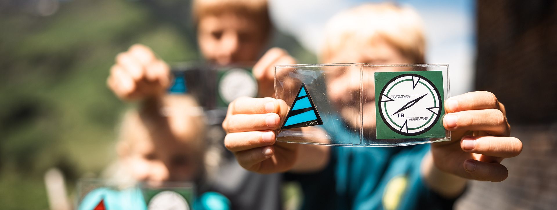
The Tannberg region was settled by the Walser people from the Canton of Valais in the 14th century. This exciting geocaching tour takes you along parts of the themed trail "On the Trails of the Walser at Tannberg," which brings to life the lifestyle and work of the Walser from 500 years ago.
The geocaching tour "Walser Village & Natural Jewels" focuses on culture and offers you the chance to experience the history and nature of the Tannberg region up close. You begin the tour at the Nesslegg parcel, where you can enjoy a stunning view of the Walser village of Schröcken. The trail then leads to the picturesque Körbersee, one of the many natural treasures of this region.
After visiting Körbersee, you will head to Alpe Noboda and then on to the Alpmuseum uf'm Tannberg, where you will gain fascinating insights into the alpine lifestyle of the Walser. The return journey takes you down the Fellbach and the Alpe Felle back to Schröcken. A highlight of this tour is undoubtedly the Earthcache "the Glacial Mill," where you can learn more about the geological features of the region.
Discover the unique connection between culture, history, and nature on this exciting geocaching tour!

 Save now